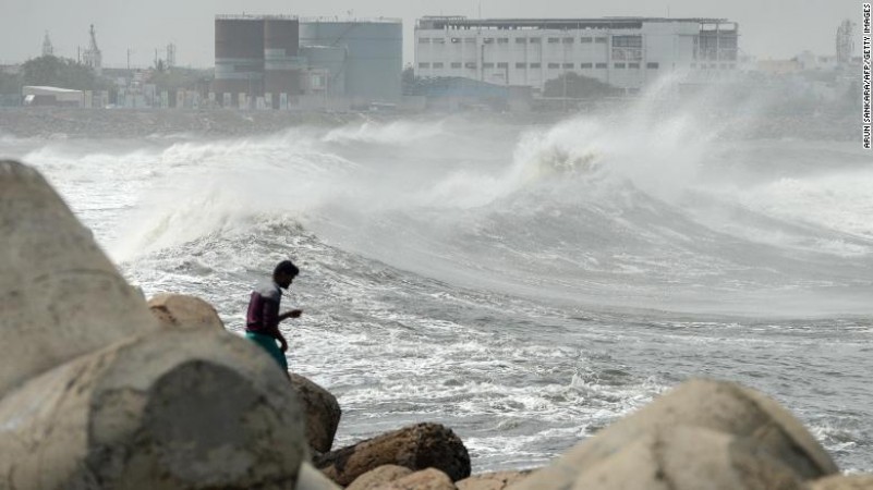
From Tuesday evening, the impact of the first 2020 Super Cyclone Amphan made in the Bay of Bengal is beginning to be seen in the coastal districts of West Bengal and Odisha as well as Bhubaneswar. Rains have already started in many areas of Bengal and Odisha. The Assam government has also declared a high alert in view of the storm. Officials said that due to the storm, lakhs of people have been evacuated from at-risk areas in West Bengal and Odisha. Both states are on high alert as high winds are blowing due to the cyclone and rains have occurred in many areas of Odisha. 45 to 55 km between rain showers. Wind has started to move at an hourly pace. High waves are starting to rise in the sea.
Workers' special train derailed from track in Karnataka
According to the Director General of Meteorological Center, DG Mrityunjay Mahapatra, on this matter, the Amphan is getting weaker in the sea. After this, it will be transformed into Extreme Sevler Cyclonic Sturm and will move towards North Odisha. Amphan is currently 350 km from Paradip and 510 km from Digha. It is traveling at a speed of 18 km. Between noon and evening on Wednesday, it will collide with the site near the Sundarbans on the Digha-Hatia coast of Bengal. Then the wind speed is 155 to 165 km/ Hourly.
Indore: Mohammad Yunus breaks lockdown, people attacked police
In his statement further, Mahapatra has said that there is not much danger in Odisha with Amphan. As the storm will not make landfall on the Odisha coast, but its passing through the Odisha coast will see the impact of Amphan in Jagatsinghpur, Kendrapara, Bhadrak and Baleshwar districts. There will be heavy to very heavy rainfall in Jagatsinghpur, Kendrapada, Bhadrak and Baleshwar districts. 110 to 120 km in Bhadrak and Baleshwar districts. Wind will blow at an hourly rate. The wind speed is 125 km when the amphon collides with the terrain.
Corona wreaks havoc in Maharashtra, 76 death in last 24 hours