Tuesday, the debate around the Geospatial Information Regulation Bill, 2016, turned into a political war of words. When India “firmly” rejected Pakistan’s objections to the draft Bill, saying Islamabad does not have any right to entity to domestic “legislative matter” of India.
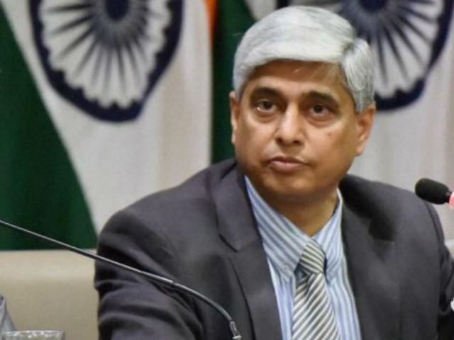
Relevantly, Vikas Swarup, spokesperson for the Ministry of External Affairs stated, “The proposed bill is an entirely internal legislative matter of India, since the whole of the State of J&K is an integral part of India. Pakistan or any other party has no locus standi in the matter”.
The plan Geospatial Information Bill plans to take in a set of legally obligatory policy regarding the geospatial information of India which may comprise provisions to penalise imprecise depiction of India in maps.
The MEA’s response came after Pakistan wrote to the UN Secretary General raising “serious concerns” over the draft Bill, specifically criticising the depiction of Jammu and Kashmir in the bill as “incorrect and legally untenable”.