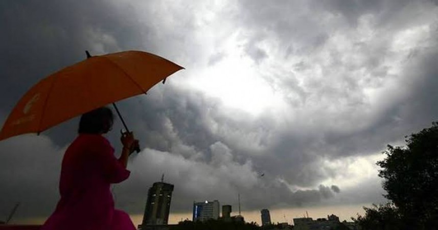
The southwest monsoon is likely to advance in some parts as per the India Meteorological Department said on Saturday. The states, Odisha, Jharkhand, parts of West Bengal and Bihar are hinted at its good progress of monsoon arrival in the next 10 days.
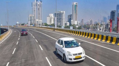
The Weather Department said that the southwest monsoon has further advanced into more parts of central Arabian Sea, entire coastal Karnataka, Goa, some parts of Maharashtra, most parts north interior Karnataka, some parts of Telangana and Andhra Pradesh, more parts of Tamil Nadu and central Bay of Bengal, and some parts of northeast Bay of Bengal. However, it is expected that lull in the rainfall activity on June 7-8, Rajendra Jenamani of the National Weather Forecasting Centre of the IMD. The department further said, “But a low-pressure area is expected to form in the Bay of Bengal by June 11. This will help in the progress of the monsoon and it is likely to advance into Odisha, Jharkhand, parts of West Bengal and Bihar.” The IMD has also made a forecast of a normal rainfall in June. It said no heatwave conditions are likely in the country over the next five days. While, IMD said maximum temperatures of more than 40 degrees Celsius were recorded at many places over west Rajasthan and Uttar Pradesh, Haryana, Saurashtra and Kutch in Gujarat and Odisha. Till now, the highest maximum temperature of 43.2 degrees Celsius was recorded at Banda in east Uttar Pradesh on Friday.
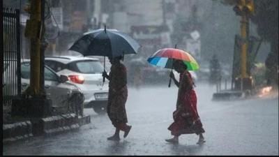
Meanwhile, several parts of the country, including north India, are witnessing rainfall activity.
Doorstep delivery of ration scheme of Kejriwal returned for reconsideration: Delhi Lt Governor
Big relief!: Less than 15 lakh active corona cases in the country
Help children orphaned by COVID: SC to examine help extended to orphans on June 6