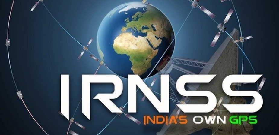
International Maritime Organization (IMO) has accepted the Indian Regional Navigation Satellite System (IRNSS) as a component of the World Wide Radio Navigation System (WWRNS) for operation in the Indian Ocean Region. This approval enables merchant vessels to use IRNSS for obtaining position information similar to GPS and GLONASS to assist in the navigation of ships in ocean waters within the area covered by 50°N latitude, 55°E longitude, 5°S latitude and 110°E longitude, approximately up to 1500 km from Indian boundary.
The Maritime Safety Committee (MSC) of IMO in its recent 102nd session meeting held from November 4 to 11, 2020 has approved the recognition of the IRNSS as a component of the World-Wide Radio Navigation System. This is a significant achievement of Ministry of Ports, Shipping and Waterways (MoPSW), Directorate General of Shipping (DGS) and Indian Space Research Organisation (ISRO) towards “Atmanirbhar Bharat”.
In the report prepared by ISRO submitted to the International Maritime Organization by the Directorate General of Shipping (DGS) details of the tests carried out on merchant ships with regard to the accuracy of the system have been included. The detailed analysis of the report by the IMOs sub-committee on Navigation, Communications and Search and Rescue [NCSR] recommends Maritime Safety Committee (MSC) of IMO to accept IRNSS as a component of WWRNS.
Pakistan violates ceasefire in Rajouri sector, one soldier martyred
Army chief gives strict warning, 'Terrorists crossing LoC won't be able to go back'
India launched an airstrike on PAK again? Army issued a statement to reveal the truth