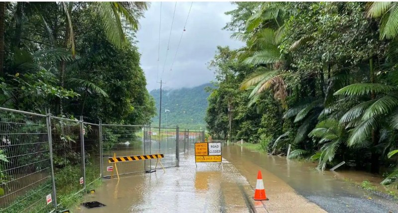
CANBERRA: The tropical Cyclone Tiffany is forecast to approach the coast of Queensland's northern tip on Monday, according to Australia's Bureau of Meteorology (BoM).
According to the State media, the BoM issued a warning on Monday morning, stating that the cyclone had wind speeds of 130 km/h and was heading west at 18 km/h barely 30 kilometres from the coast. The warning said, "Tiffany will weaken slightly over land but may maintain tropical cyclone intensity as it advances westward around the Cape." Residents have been warned to expect gale strong gusts, severe rains of up to 250 mm, and extremely high tides along the shore.
"Because tropical cyclones can intensify quickly and change direction, we'll be updating our warnings and guidance to the public and emergency responders as the storm develops." According to reports, the cyclone is likely the result of high sea surface temperatures, according to Milton Speer of the University of Technology Sydney.
"Tiffany formed at sea surface temperatures of about 29 degrees Celsius in the Coral Sea, which are up to 1 degree Celsius above average, and will very certainly re-intensify over comparable sea surfaces in the Gulf of Carpentaria," Speer added. "As Tiffany reaches landfall today, the Cooktown area may expect devastating gusts." He explained that the storm is part of an active monsoon trough that has brought torrential rain to northern Queensland's coast.
Iraqi Parliament meets first session under fifth term
Gaza's population is growing despite extreme poverty and unemployment.