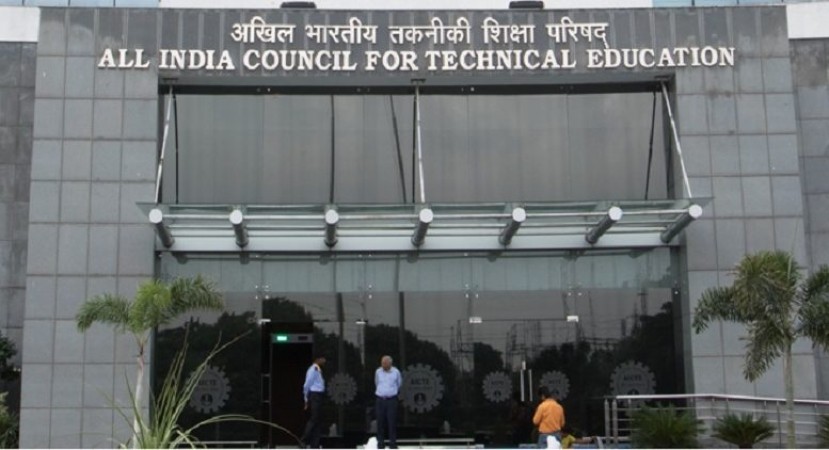
New Delhi: The All India Council for Technical Education, in alliance with the Indian Institute of Technology Bombay, Indian Space Research Organisation, and Free Open Source Software in Education, is hosting an "online mapathon" to promote the use of Indian satellite imagery.
Students who are interested can apply on the official website of the mapathon, https://iitb-isro-aicte-mapathon.fossee.in/. The entries have to be submitted between December 14 to 31. The event is being held in coordination with the Ministry of Education. The results will be announced from January 4 to 10. The participants will receive certificates jointly issued by AICTE, IIT Bombay, ISRO, and FOSSE. The event was initiated on December 7, 2020, by Mr. Anil Sahasrabudhe, Chairman of AICTE, Mr. Subhasis Chaudhuri, Director of IIT Bombay, and Mr. Kannan Moudgalya, Principal Investigator, FOSSEE, IIT Bombay.
The Mapathon organized is aimed at sensitizing the public about the potential of ISRO data for various uses that include tracking natural calamities, floods, droughts, crop failure, soil fertility assessments, water and cropping area, said a statement issued by AICTE.
These maps are also expected to have crucial applications in climate change adaptation, education, logistics, natural resources management, disaster management, health, geography, forest management, socio-economic factors, and local administration, said the statement.
Also Read:-
Attention! UPSC EA/AO Exam 2020 center change facility opened by UPSC
NBE Declares Recruitment Test Result
3 skills for job in the eCommerce industry in 2021