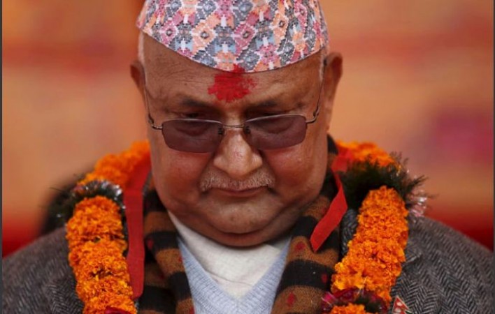
Kathmandu: Now that India-Nepal relations seemed to be normal again, the Oli government has once again provoked tension by waging a map dispute. In fact, the KP Oli government on Tuesday included objectionable maps of their country in the curriculum of schools. Nepal has also decided to mark a new map on one and two rupee coins in the country. Obviously, such steps by Nepal will reduce the scope for bilateral bilateral talks between India and Nepal.
Nepal asserts its authority over Kalapani, Lipulekh and Linpiahua in Uttarakhand. In May, when Defence Minister Rajnath Singh launched the Kailash Mansarovar Road link via Lipulekh, Nepal expressed strong objection. Nepal then gave rise to a new controversy by including these three areas in their new map. Nepal had also amended the constitution to recognise the new map.
Nepal's Education Ministry has described the area of the entire Nepal in the new book of Secondary Education. It also depicts Kalapani, Linpiyhura and Lipulekh as the territory of Nepal. The book claims that India has occupied an area of about 542 sq km in the Linpiyahura, Lipulekh and Kalapani region and is a territory of Nepal.
Also Read:
Satellite data shows, Smoke from US fires reaches Europe
Trump is not ready to sign any deal with the Chinese app Tik Tok
23-year-old NRI gets life imprisonment for murdering ex-girlfriend in Britain
India ranks 116th in World Bank's Human Capital Index