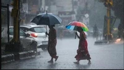
Between the lockdown and the corona transition, the Indian Meteorological Department has said that the southwest monsoon is likely to move towards some more interior southern parts of Karnataka, Tamil Nadu, Puducherry, Karaikal and most parts of Bay of Bengal.
Corona outbreak continues in Assam, more than 225 positive patients found
According to the statement issued by the Meteorological Department, in the next 23 days of the southwest monsoon, some more areas of Karnataka, entire Tamil Nadu, parts of Rayalaseema, coastal areas of Andhra Pradesh, the entire southwest Bay of Bengal and northeast conditions are favorable for advancing in some areas of India. Due to the Western Disturbance, there is a possibility of thunderstorms in the Western Himalayan region. There is a possibility of intermittent rain or thunderstorms in the plains of northwest India in the next 48 hours. A low pressure area is likely to form over the Bay of East-Central Bengal around June 8.
India's economy will accelerate after relaxation of lockdown
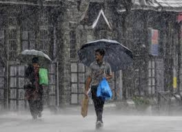
Kuldeep Srivastava, head of regional forecast center of Indian Meteorological Department, said that there is no possibility of heat wave in Delhi NCR till June 15. He said that by June 10, the maximum temperature will increase by two to three degrees Celsius but it is expected to remain below 40 degrees Celsius. Due to low pressure of Bay of Bengal due to moisture-laden eastern winds, there is a possibility of rain in Delhi-NCR on June 12 and June 13. There is a possibility of thunderstorms in Delhi on Sunday and the maximum temperature will be around 37 degrees and the minimum temperature will be around 26 degrees Celsius.
Will economy be able to get back on track without combating corona infection?