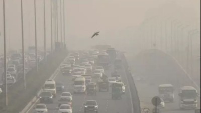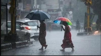
Rains continue to lash many districts in Andhra. The low-pressure area over the west-central Bay of Bengal off the north Andhra Pradesh coast is likely to get more strong, causing increased intensity and distribution of rains in coastal AP. The system, third in quick succession, will be joining over the coastal region for the next 24 hours. The Met department recently issued a warning for the next five days in the coastal region. Thunderstorms, along with lightning and isolated extremely heavy rainfall, are likely to occur in East and West Godavari districts and Yanam.
Scuffle continues in Guntur after statue of NTR gets removed
The department additionally issued a yellow watch over the state on Friday and Saturday, with the advisory requesting residents to ‘be aware’ of the local weather situation. AP has till now experienced 20 percent excess rainfall this monsoon season as it has received 556 mm rainfall against the normal of 464 mm. Rayalaseema district has recorded a majority of rains. Deficient rainfall has so far been recorded at Srikakulam and Vizianagaram districts. The monsoon trough lies south of its normal position.
Farmers in Andhra Pradesh are in great agitation; know the reason!
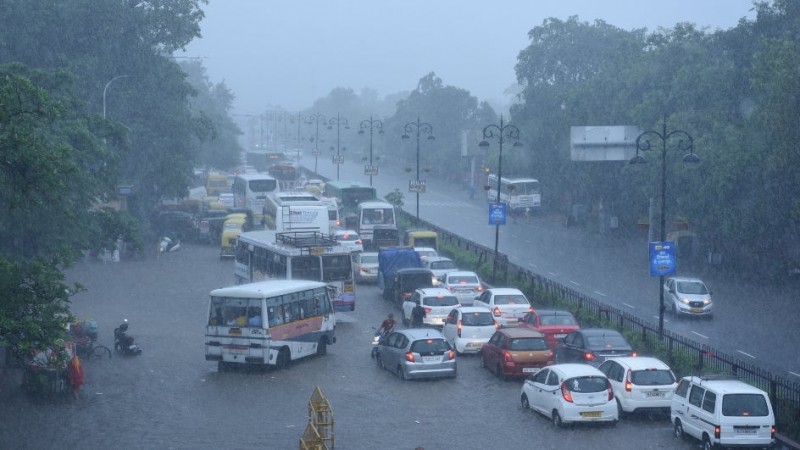
The eastern end of the monsoon trough is expected to shift considerably southwards due to the formation of a low-pressure area over the west-central Bay of Bengal off Andhra Pradesh coast by Monday. Associated cyclonic circulation extends up to mid-tropospheric levels tilting southwestwards. Meanwhile, Sagileru Canal flooded due to heavy rains on Saturday night. Brahmgarimatham revenue and police officials have asked people of Godlaveedu, P.C. Palli, Mallegudipadu, Tummala-palli, Dirasavancha and Peddirajupalle villages to remain alert.
Andhra Pradesh: BJP is eyeing to gain momentum in the state; did this!