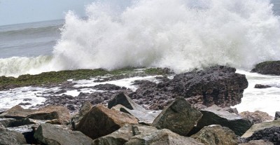
VIZAG: An Indian Meteorological Department (IMD) bulletin from Amaravati on Sunday stated that the low-pressure region, which has migrated from north Odisha towards coastal parts of south Odisha, north Andhra Pradesh, and the surrounding area, may cause more rainfall until July 14.
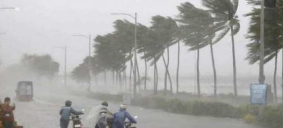
The IMD has issued a heavy rain alert for 5 districts, leading to water logging and disruption of traffic in many parts of north Andhra and West Godavari districts. The associatred cyclonic circulation with the low pressure extends up to 7.6 km above mean sea level and tilts south-westward with height. “The low pressure area will move to interior areas and towards Telangana, causing more rains for the coming 5 days,” said IMD director Stella S.
Bikaner, Sikar, Shivpuri, Satna, and Jharsuguda are currently in the path of the monsoon trough, which is currently 1.5 km above mean sea level and centred on coastal regions of south Odisha, north Andhra Pradesh, and the surrounding area.
According to the director, between July 11 and July 14, isolated areas in the districts of Visakhapatnam, East Godavari, Yanam, and West Godavari are anticipated to see significant rainfall due to this system. Rainfall will also occur in the Rayalaseema region and some southern coastal Andhra Pradesh around this time.
On Sunday, the state saw significant rainfall in a number of locations. The West Godavari district's Chintalapudi and Koyyalagudem areas had the heaviest rainfall, measuring 7 cm. Pathapatnam in Srikakulam, Velairpad in West Godavari, and Nuzvid in Krishna district each received 6 cm.
Assam Flood: People's problems increasing, 30k to 40k houses damaged
Heavy rains create ruckus in Uttarakhand, horrifying photos surfaced